Claire is a Planning Practice Advisor at the RTPI
The rise of the biggest megacity in the world
As the most populous city region globally, the Greater Tokyo Area is fascinating from a town planning perspective, from its Edo-era beginnings to its sprawling megacity status.
During the Edo period, urban space was predominantly divided into three districts: land where the samurai had their residences, consisting of around 70% of the total area (interestingly this land now comprises many modern-day public facilities and parks including Koishikawa Korakuen Gardens); temple and shrine land and; town land where the merchants and artisans lived. The Japanese capital officially moved from Kyoto to Edo in 1868 during the Meiji Restoration, when the city was renamed Tokyo.
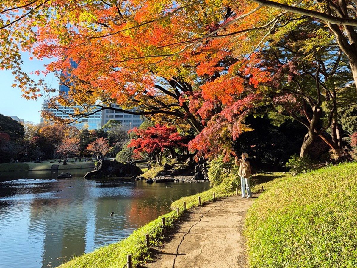
The Koishikawa Korakuen Gardens are an example of the many tranquil parks
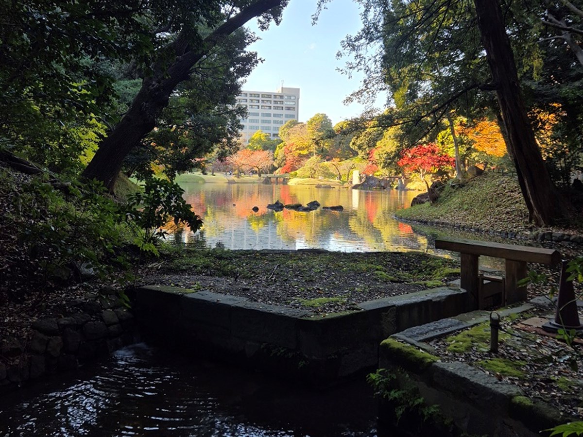
These parks act as havens in the middle of the urban metropolis
The city has experienced a series of disasters throughout the course of its history which have forced ingenuity; a prime example is the significant fire in 1872 which led to the Ginza Bricktown Plan, a key symbol of westernisation leading to Japan’s first western streetscape.
Moving forwards, the Tokyo City Planning Ordinance was promulgated in 1888; this institutionalised the procedures and finances for systematic reorganisation of the built-up part of the city. The Tokyo City Plan was then formulated the following year and was later revised in 1903. However, another significant disaster event, the Great Kanto Earthquake in 1923, further spearheaded urban development, with a zoning system introduced in 1925. Tokyo was again significantly destroyed during World War Two, after which rapid reconstruction projects sought to make intensive use of land which started the transition into a modern city in earnest.
Within more recent timeframes, Tokyo hosted the Olympics in 1964 which springboarded it onto the global stage for arguably the first time, with the Shinkansen (bullet train) launched concurrently. In addition, the floor-area ratio zoning system adopted in the 1960s supercharged Tokyo’s high-rise construction, with the first super high-rise being the Kasumigaseki Building.
Fast-forward to the present-day, modern-day Tokyo, which is organised into 23 wards, is a masterpiece of urban design. The sheer scale of Tokyo’s city-scape is simply astounding when viewed from on high.
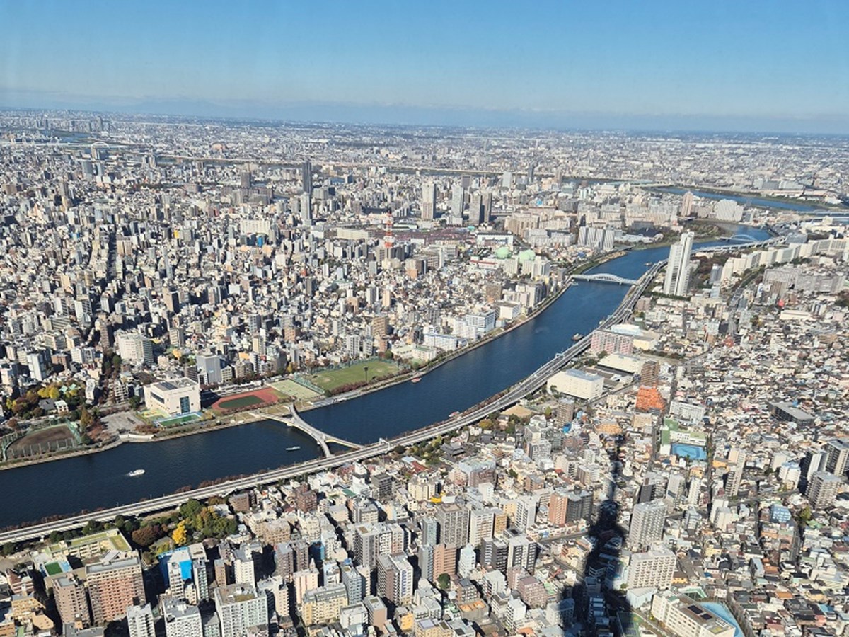
Viewpoint from the Sky Tree, the tallest free-standing broadcasting tower in the world. On a clear day you can make out Mount Fuji.
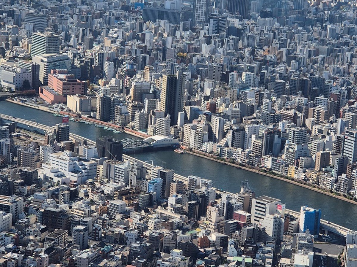
This iconic Sky Tree came about through the desire to increase commuters within this area of Tokyo.
A key characteristic of the ‘typical’ streetscene which renders Tokyo instantly recognisable is Zakkyo buildings with their enticing neon signage.

Zakkyo buildings are tall narrow buildings which host a variety of commercial uses that are stacked on multiple levels to maximise the potential of the footfall in these dense urban areas with high land values. This varies from the norm of ‘shop top development’ with commercial units on the ground floor and residential/office units above.
Knowledge exchange with planning professionals
Whilst recently visiting friends in Tokyo, I took the opportunity to connect with planning professionals during my trip.
I firstly met with Professor Tetsuya Yaguchi at Waseda University, who engages in various international exchanges, including efforts focused on improving accessibility within transport systems. Professor Yaguchi introduced me to Japan’s zoning system and emphasised how Japan approaches planning from a disaster resilience perspective, noting the country’s history; this is why they are so good at citizen participatory planning as they have these grassroot level connections that can be used for planning. We also discussed the current focus on nature-based solutions, inclusive design and affordable housing.
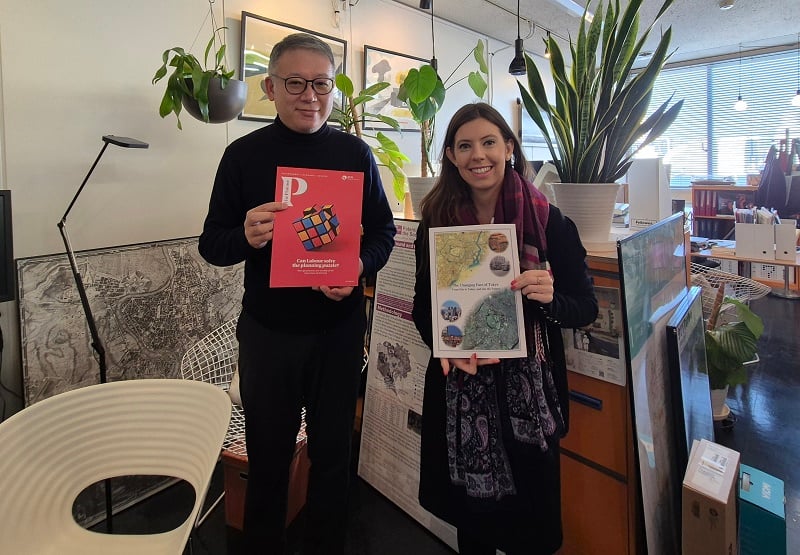
Claire met with Professor Yaguchi
I was then lucky to meet with representatives from the City Planning Institute of Japan (CPIJ) at the University of Tokyo, including a Vice President Professor Koizumi, the Deputy Secretary General Mr Koyama and a Managing Director Professor Ohmori.
CPIJ was established in 1951 with the intention of developing scientific knowledge of urban and regional planning and to become the platform for exchanging knowledge and planning technology among the public, private and academic sectors. CPIJ publishes journals and books and hosts domestic and international conferences on themes such as smart cities, disaster prevention and climate change adaptation.
I really enjoyed hearing about Japan’s strong roots in Machizukuri (community-focused urban development) which stems from, and is reinforced by, their disaster resilience planning. We also discussed how Japan implemented a green belt policy after World War Two which was modelled after the Greater London Plan. It was great to meet with a sister Institute to promote the value of town planning as a profession on the international stage.
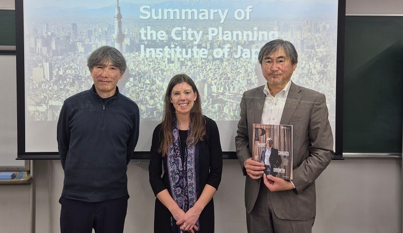
Claire was given a presentation about the Japanese planning system and CPIJ’s history and current work priorities
I was also fortunate to meet with RTPI member, Dr Nitin Srivastava, at Nikken Sekkei’s impressive state-of-the-art head office in Iidabashi. Dr Srivastava explained Nikken’s innovative bioclimatic design solutions including their COOL TREE LITE installation, surrounding the office at i-Garden Air. This eco-friendly and zero-energy installation aims to create a comfortable outdoor living environment during the hot summer months. I particularly enjoyed learning about Japan’s history of transit-oriented development, Japanese new towns, and the policy of ‘pocket parks’ which have been successful at inserting vital green spaces at the localised level.
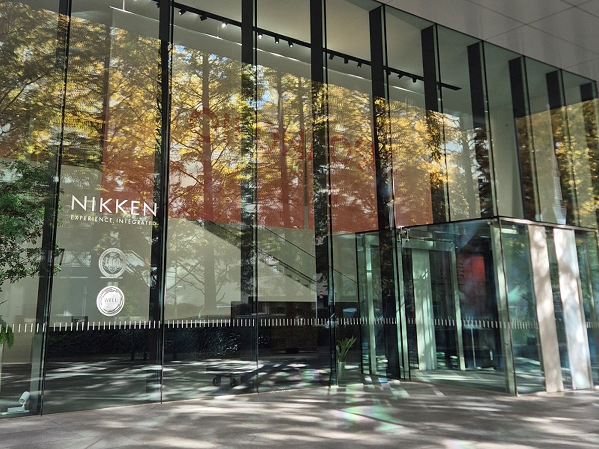
Nikken’s offices
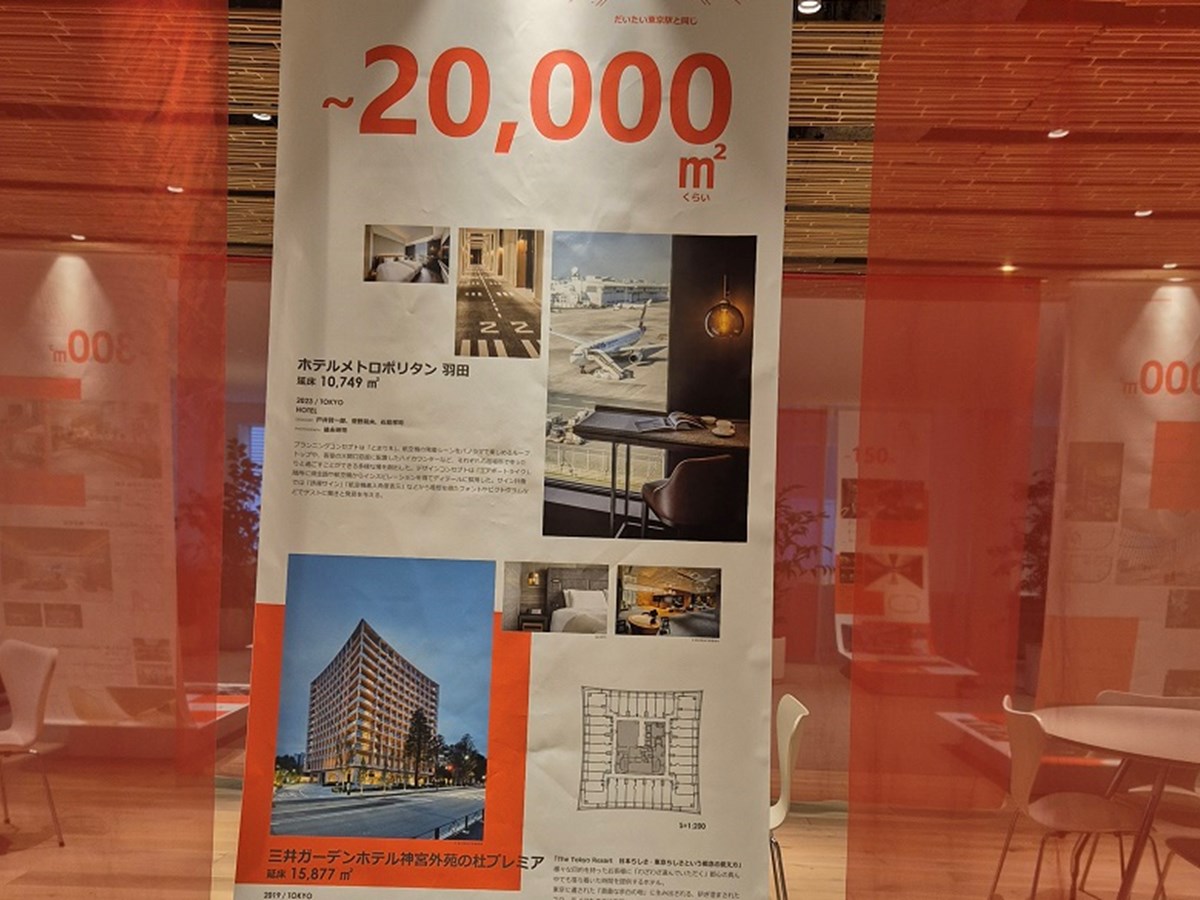
Claire visited the impressive state-of-the-art head office in Iidabashi
Reflections
During my stay I was struck by the efficiency of the public transport system, with Tokyo showcasing the largest and most intricate transit system in the world; Shinjuku station for example is the busiest public transportation hub in the world, with 3.6 million daily commuters. As a result, car ownership is lower and expensive toll charges further encourage public transport use. The regularity of the bullet train Shinkansen service was also extremely impressive, with trains every 5 minutes.
Daily life is also centred around convenience, with street vending machines around every corner even in the most remote areas (indeed the number of convenience stores exceeds the number of shrines in Tokyo!). Japan’s increasingly ageing population has fuelled its transition to automation. This has led to unique experiences such as the DAWN robot café!
Although Japan has a zoning system, there are lots of similarities in terms of the issues we both face and our targeted action to achieve sustainable development, particularly in relation to nature-based solutions, smart cities, climate change mitigation and our shared goal of raising the status of planners.
I look forward to continuing to develop such international collaborations through future joint-events for our members as part of our International Strategy which promotes the value of planning internationally as a lever for advancing a prosperous, fair, sustainable and peaceful world.
References
The Changing Face of Tokyo: From Edo to Today and into the future (2020) Tokyo Metropolitan Government


